Environmental advice
Get advice about:
Subpages
The Development.i site report makes it easy and convenient to access general town planning information for individual properties.
Council's MyMaps website provides quick and easy access to the region's digital geographic data in the form of maps and associated information.
Flood mapping and information for our community and industry professionals to make informed decisions for emergency preparedness and land use planning purposes.
Get the latest Disaster recovery information
Find out about cutting down trees, tree clearing, planting, vegetation management on council land and what you can do about trees overhanging your property
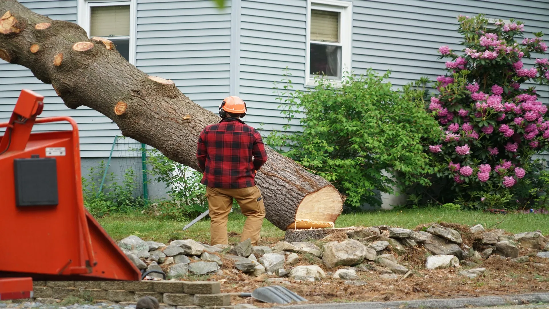
A permit may be needed from council to remove protected vegetation on private property, including cutting down trees.
Reducing the household water use can help if your land application area is overflowing.
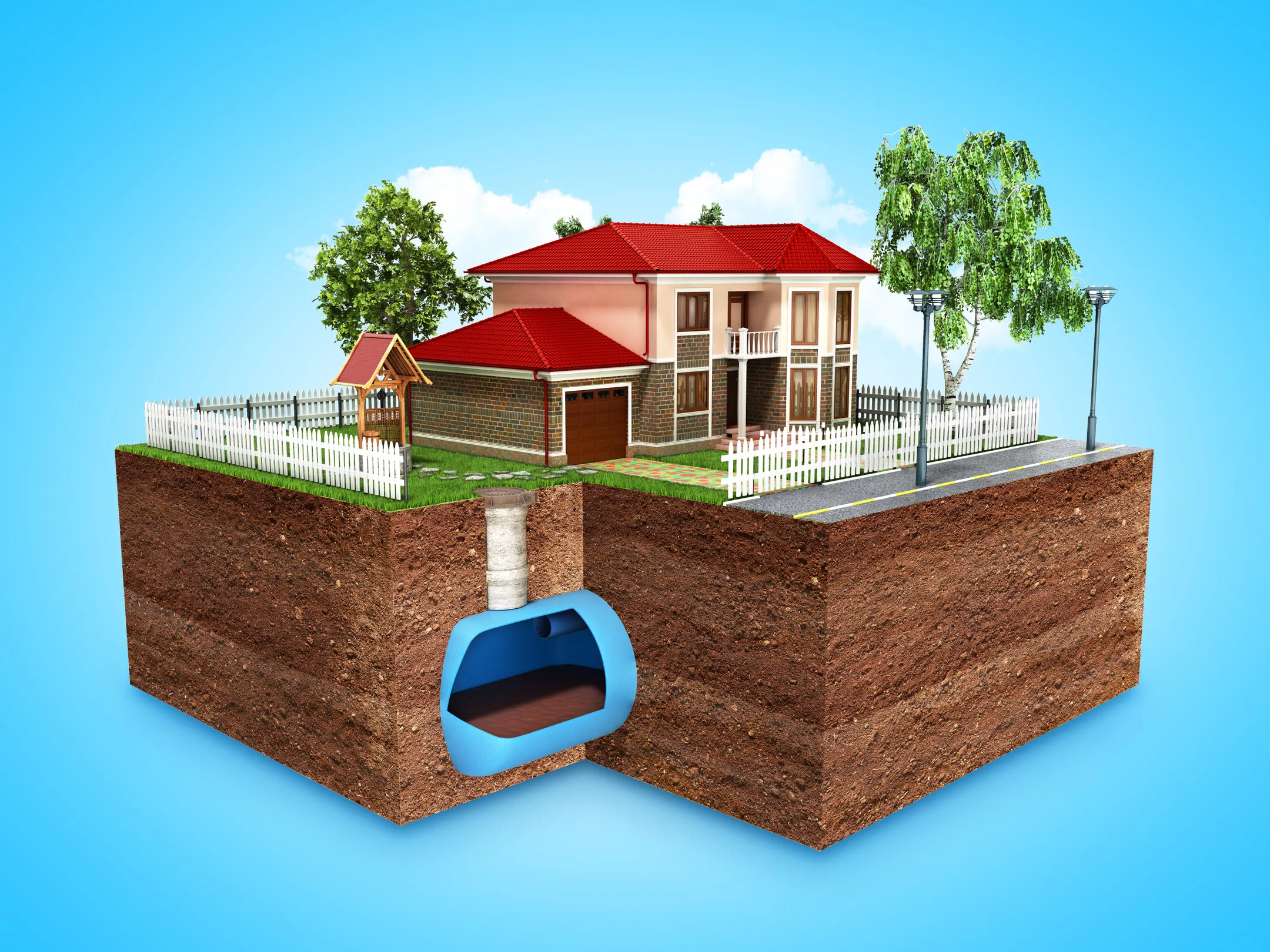
Information relating to types of household sewerage treatment systems and land application areas.