Infrastructure projects
Follow the progress of a range of projects across the Sunshine Coast.
Other minor capital projects may also be underway. Some projects may take a bit longer than anticipated to complete due to extended periods of rain, or contractors availability.
Subpages

Other minor capital projects may also be underway. Some projects may take a bit longer than anticipated to complete due to extended periods of rain, or contractors availability.
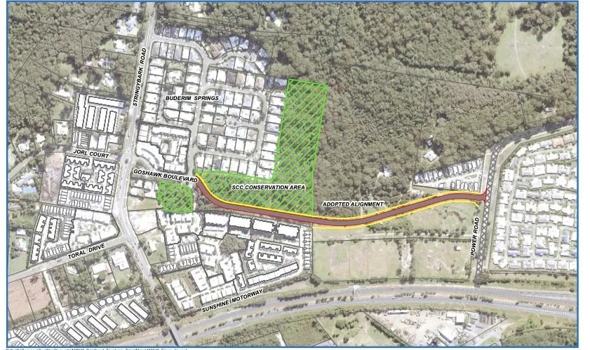
The Goshawk Boulevard extension will connect Stringybark Road to Power Road to improve multi-modal transport access surrounding the Sippy Downs town centre.
The coastal pathway is one of many recreational infrastructure projects delivered by Council to help the Sunshine Coast community achieve a healthy, active and sustainable lifestyle.
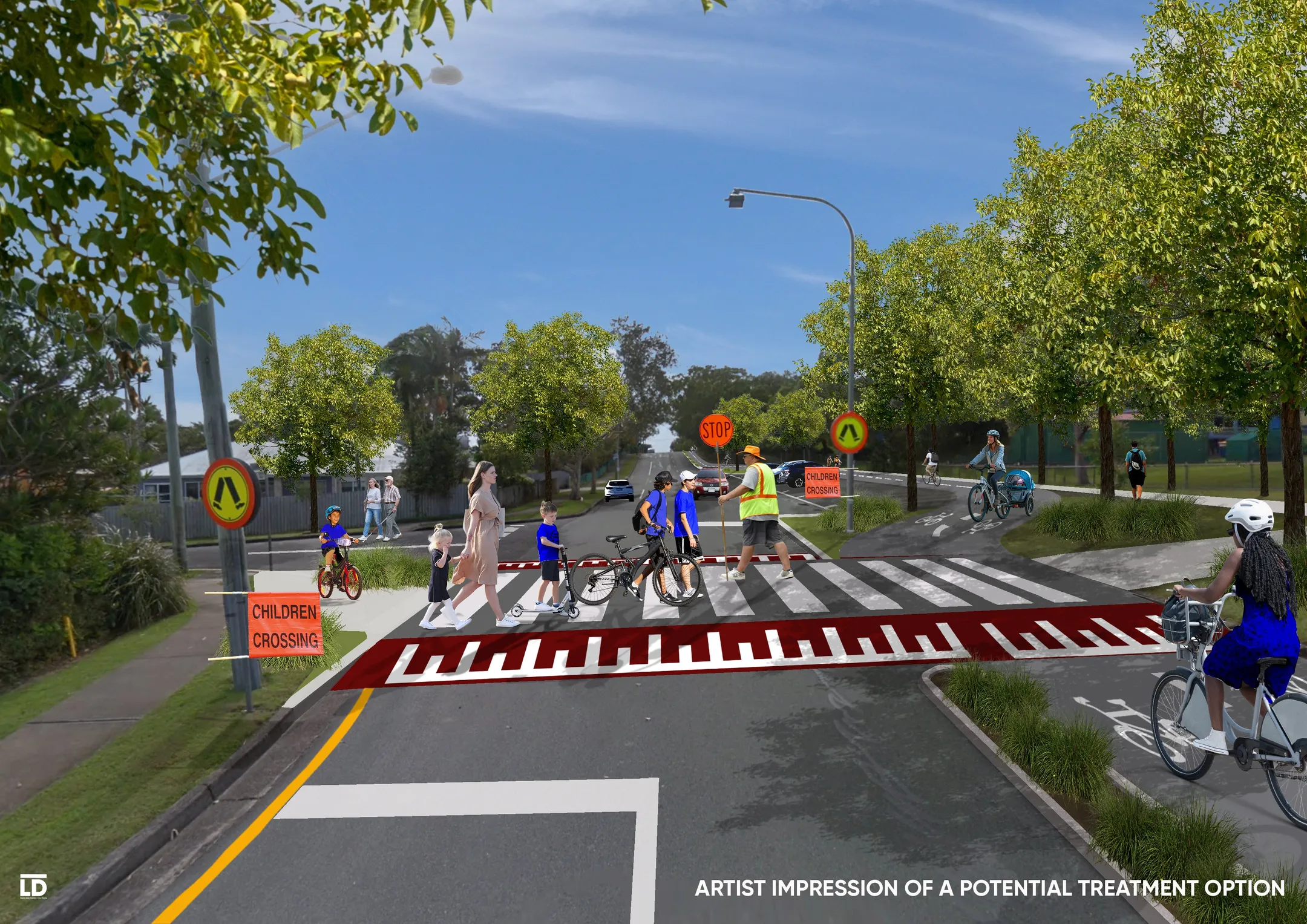
Sunshine Coast Council is undertaking planning to improve the active transport network for walking and riding, connecting the communities of Currimundi, Dicky Beach, Moffat Beach, and Caloundra.
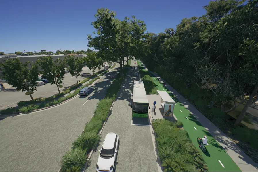
As part of a major transport infrastructure investment into the future of Caloundra’s lifestyle and economic development needs, a new transport corridor is being delivered.
Council is repairing a section of cliff face above the beach at First Bay, Coolum which was damaged during the February and May 2022 flooding events. This repair work will stabilise and strengthen the area affected by the landslip and provide a new path for pedestrians.
A new and improved streetscape will transform Memorial Drive into an attractive, shady and inclusive place for businesses, residents and visitors to enjoy all year round.
To dredge within the Pumicestone Passage at Golden Beach council obtained federal government approval permits.
Approximately 300m of seawall, a boat ramp, a section of the coastal footpath and beach access is being upgraded along the Golden Beach foreshore over the coming years.
Council is working with the community to develop a landscape plan for Lake Weyba foreshore park.
Council has completed the vibrant streetscape upgrade of Cribb Street, Landsborough.
Maleny’s main street will be refreshed to provide a safer, more enjoyable and attractive experience for the community.
A new attractive streetscape is planned to transform First Avenue, Maroochydore into a vibrant, shady and inclusive CBD, providing businesses, residents and visitors a more inviting space to live, work and play.
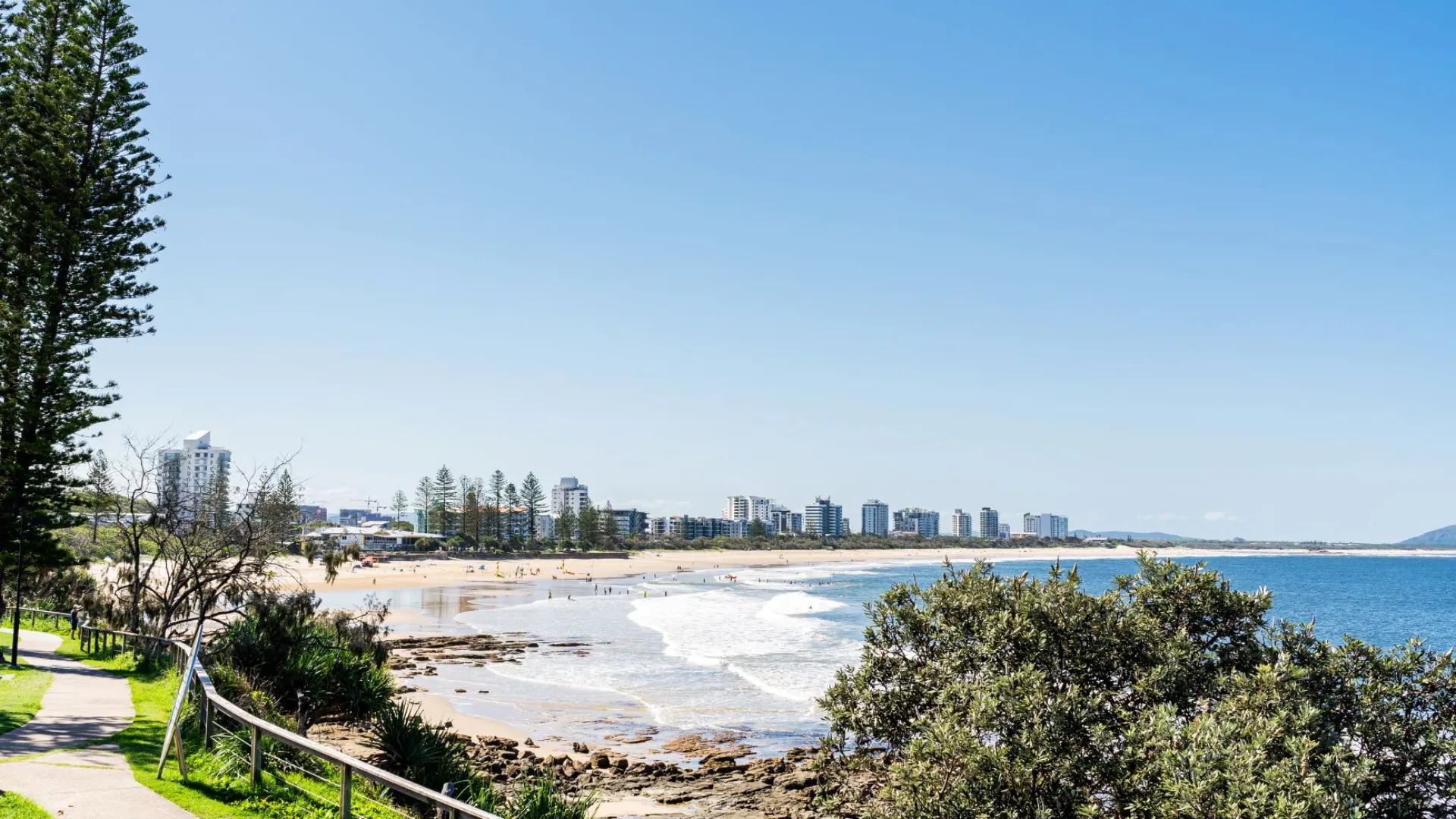
Council will use sand from the Maroochy River to widen and restore the beach to provide protection from future storms.
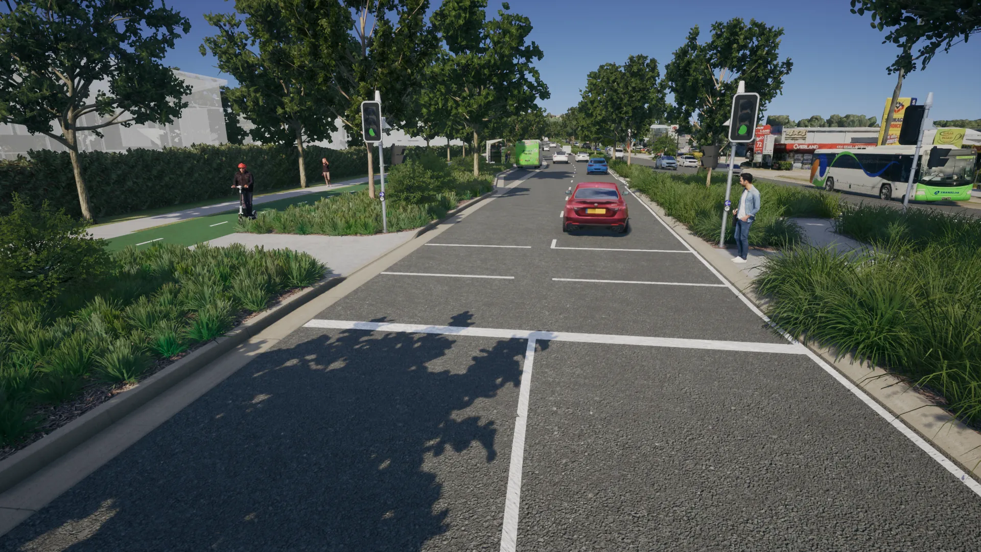
Council has released an updated concept design for the planned upgrade of Sugar Road and Maud Street.
Find out more about the Moffat Beach seawall reconstruction project.
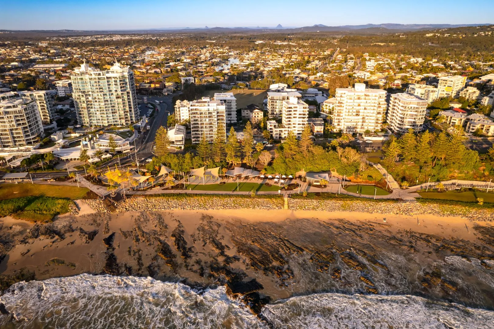
Sunshine Coast Council is investing in the future of Mooloolaba with a major foreshore revitalisation project to create more beachfront parkland, new community facilities, improve access to the beach and foreshore and enhance coastal protection for the benefit of residents, visitors and businesses.
Working in partnership, Sunshine Coast Council and North Coast Region of the Department of Transport and Main Roads are delivering a safe and inclusive corridor for people walking and riding between the new Maroochydore City Centre and Mooloolah River.
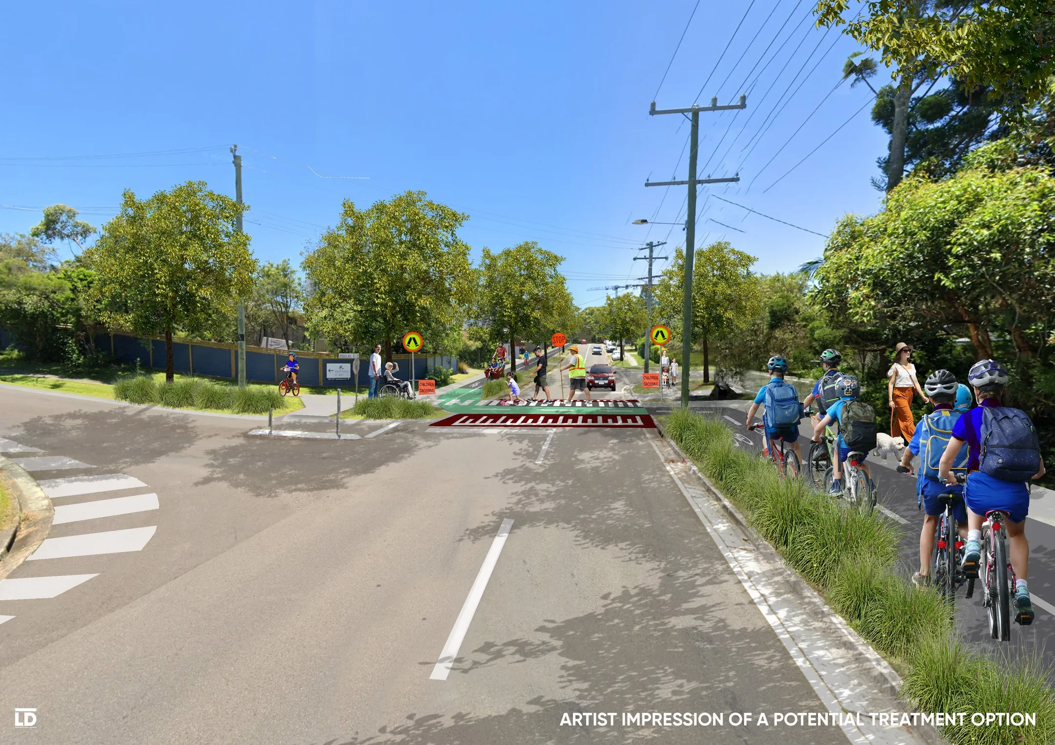
Sunshine Coast Council is undertaking planning to improve the active transport network for walking and riding, connecting the communities of Mooloolaba, Mountain Creek, Sippy Downs and Buderim.
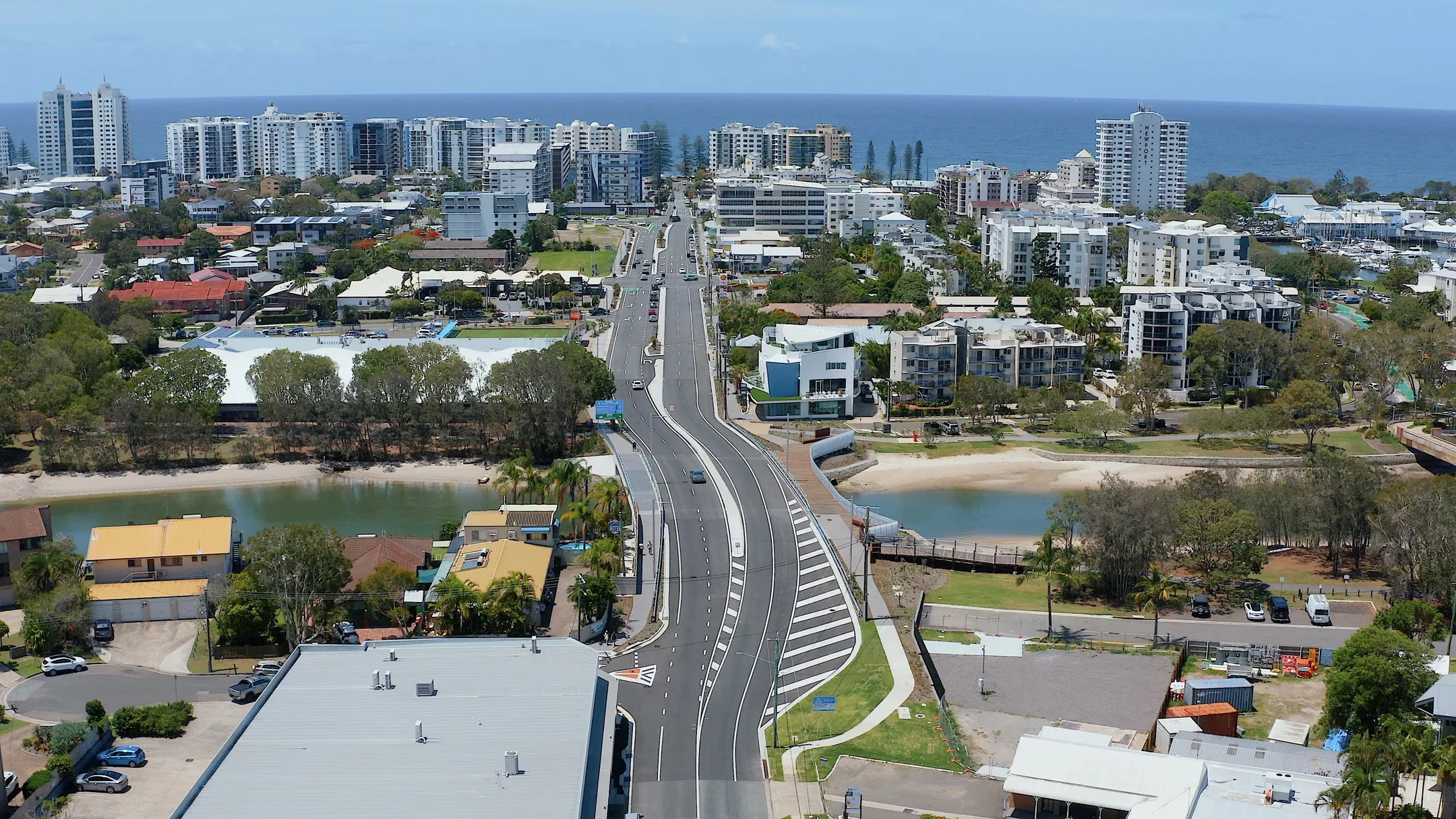
The Mooloolaba Transport Corridor Upgrade, commonly known as Brisbane Road upgrade, will see the road between Culbara Street and Venning Street, Mooloolaba widened to four lanes.
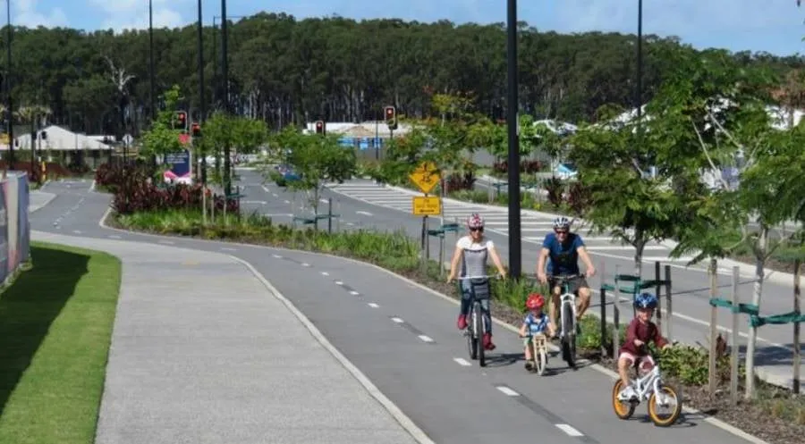
A new 1.6 kilometre separated cycle track is planned for Karawatha Drive to improve connectivity and safety for our community.
The Nambour waste facility is being upgraded with construction and improvements to be completed in the next 3 years.
This project is an outcome of the Shelly Beach to Moffat Beach coastal study.
The public boat ramp and trailer parking in Minyama has been upgraded.
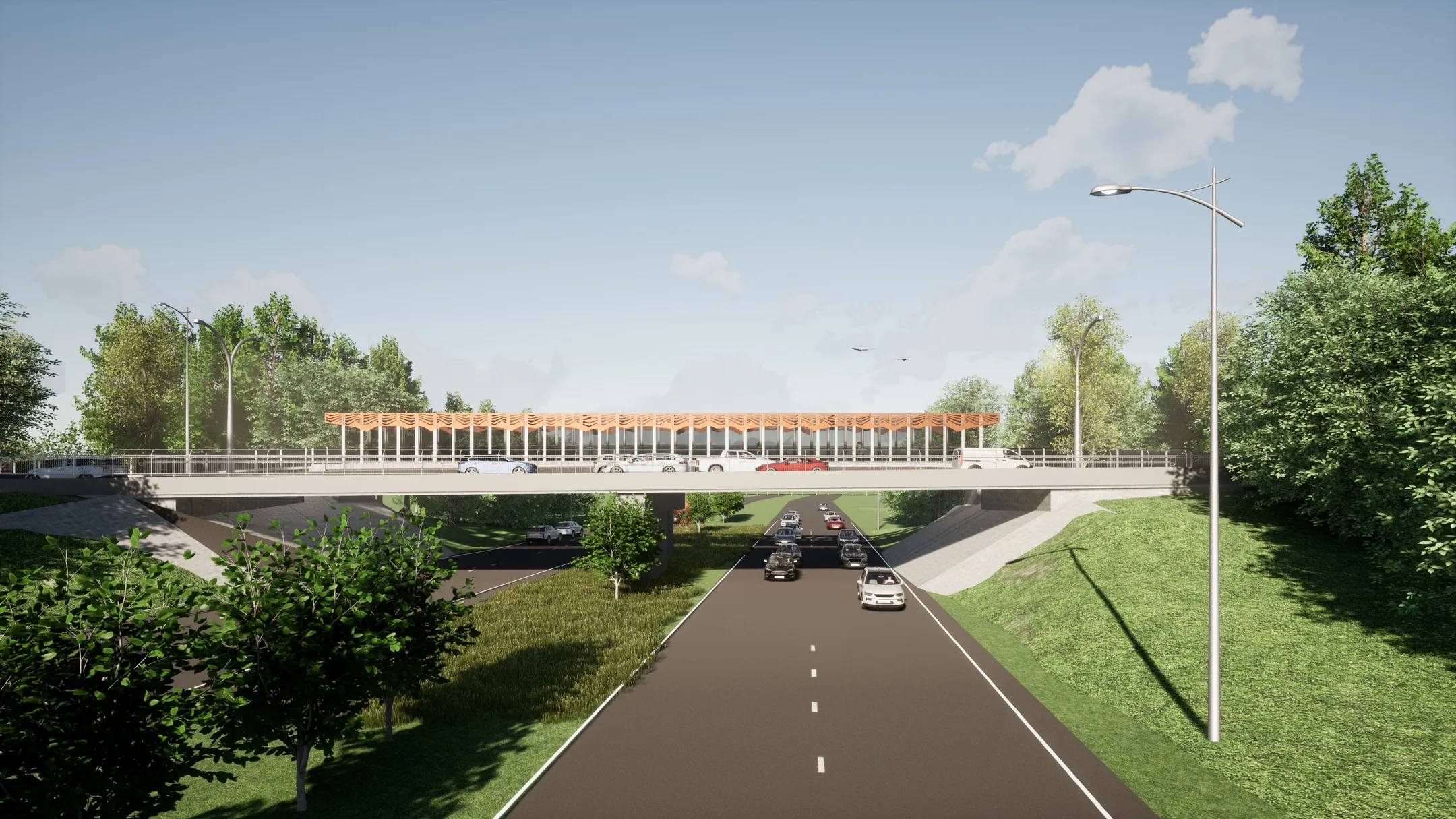
Construction is underway on a new pedestrian and cycle bridge parallel, and to the east, of the existing Stringybark Road bridge, which spans across the Sunshine Motorway between Buderim and Sippy Downs.
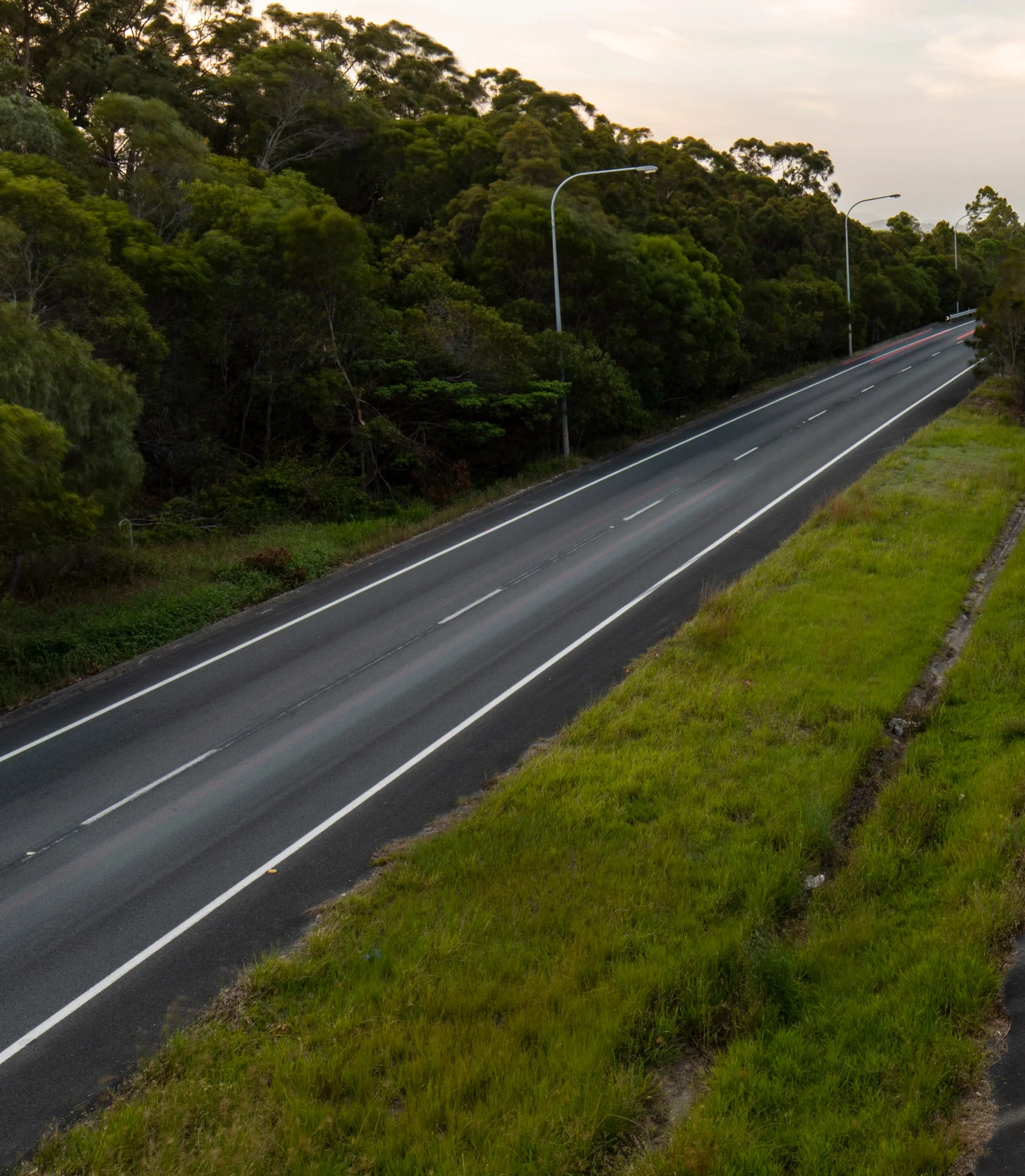
Council has completed the design for the proposed South Coolum Road link between South Coolum Road and Suncoast Beach Drive.
Sunshine Coast Council has assessed public spaces within the main street areas of our villages and townships. The results will help to inform future place planning and potential placemaking initiatives.
The S.S. Dicky was an iron-hulled steamer, driven ashore at Caloundra during a cyclone in 1893.
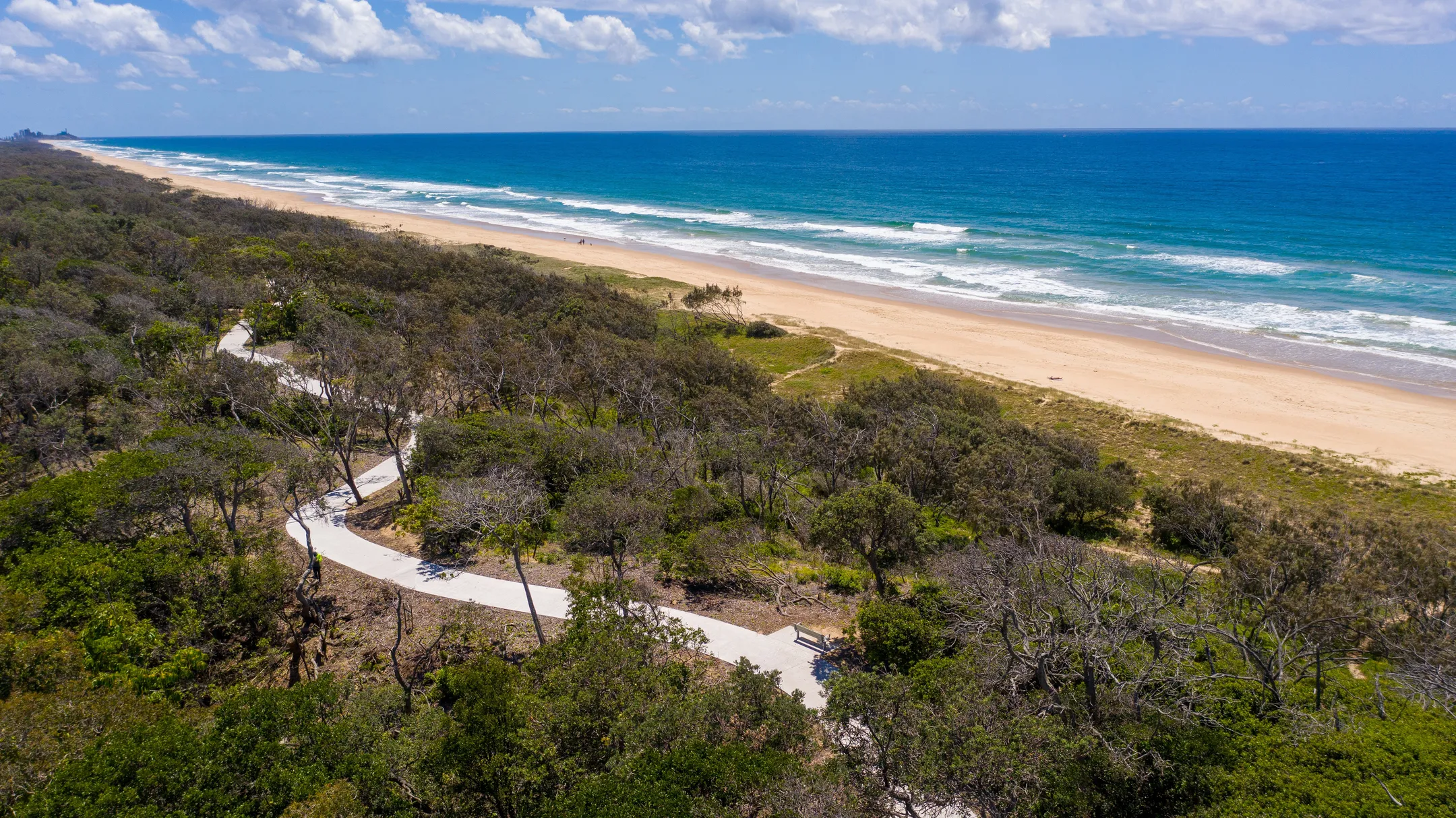
The coastal pathway is Council’s longest shared pathway connecting communities, beaches, parks and open space areas.
Construction has been completed on the Blackall Street, Woombye streetscape project.
